

Kanamachi တွင် နေထိုင်ခြင်း
‹ မြေပုံပေါ်တွင် ကြည့်ရန်金町 · Tokyo

Tokyo ward 23 ခု၏ အရှေ့စွန်း၊ Edogawa မြစ်ရှေ့ရှိ လူနေဧရိယာ။ ပြောင်းစီးစရာမလိုဘဲ Otemachi သို့ သွားသော ရထားများ ပြေးဆွဲပြီး၊ ဘူတာတောင်ဘက်နှင့် မြောက်ဘက်တွင် စူပါမားကက်ကြီးများနှင့် ရှော့ပင်းမောလ်အသစ် ရှိသဖြင့် ဈေးဝယ်ခြင်းကို ဘူတာရှေ့တွင်ပင် ပြီးစီးနိုင်သည်။ သို့သော် အမြန် Rapid ရထားများ မရပ်ပါ၊ မြစ်ကြီးများကြားရှိ နိမ့်သောမြေဖြစ်၍ ရေကြီးမြေပုံကို မဖြစ်မနေ ကြည့်ရပါမည်။
ပြောင်းစီးစရာမလိုဘဲ Otemachi သို့ 30 မိနစ်အတွင်း ရောက်သော Tokyo ward 23 ခု၏ အရှေ့စွန်းရှိ လူနေဧရိယာ ဖြစ်သည်။ Kita-Senju သို့ 9 မိနစ်ခန့်ဖြစ်ပြီး ဘူတာတောင်ဘက်နှင့် မြောက်ဘက်တွင် စူပါမားကက်ကြီးများနှင့် ရှော့ပင်းမောလ် ရှိသည်။ JR Joban Line အမြန်ရထား (Rapid) မရပ်သဖြင့် Ueno · Tokyo Station ဘက်သို့ တစ်ကြိမ် ပြောင်းစီးရသည်။ မြစ်ကြီးများကြားရှိ နိမ့်သောမြေဖြစ်သဖြင့် အိမ်ရွေးသည့်အခါ ရေကြီးမြေပုံကို မဖြစ်မနေ စစ်ကြည့်ပါ။
On foot from anywhere in the area
Good fit for
- ရထားမလဲဘဲ Otemachi သို့ ခန့်မှန်း 30 မိနစ်ဖြစ်သဖြင့် Otemachi ဘက်သို့ အလုပ်သွားသော ရုံးဝန်ထမ်း
- Kita-Senju သို့ ခန့်မှန်း 9 မိနစ်ဖြစ်သဖြင့် Kita-Senju ၏ စီးပွားရေးအဆောက်အအုံများနှင့် လိုင်းများစွာကို အနီးတွင်ထားလိုသူ
- ဘူတာ၏ တောင်ဘက်နှင့် မြောက်ဘက်တွင် စူပါမားကက်ကြီးများနှင့် ရှော့ပင်မောလ်များရှိသဖြင့် ဈေးဝယ်ခြင်းကို ဘူတာရှေ့တွင် ပြီးစီးလိုသူ
- Tokyo University of Science ကျောင်းဝင်းသည် ဘူတာ၏ မြောက်ဘက်တွင်ရှိသဖြင့် ဤကျောင်းဝင်းသို့ တက်သောကျောင်းသား
- ခရိုင် 23 ခုအနက် အကျယ်ဆုံးဖြစ်သော Mizumoto Park သို့ ဘတ်စ်ကားဖြင့် ရောက်နိုင်သဖြင့် ပန်းခြံကြီးကို မကြာခဏသွားလိုသူ
May not suit
- Joban Line Rapid မရပ်သဖြင့် Ueno၊ Tokyo Station သို့ နေ့စဉ်လျင်မြန်စွာ သွားလာလိုသူ
- Shinjuku၊ Shibuya သို့ တစ်ကြိမ်လဲစီး၍ 37~44 မိနစ်ကြာသဖြင့် အနောက်ဘက် မြို့လယ်ခွဲများသို့ နေ့စဉ်အလုပ်သွားသူ
- မြစ်ကြီးများကြားရှိ မြေနိမ့်ဖြစ်သဖြင့် ရေကြီးမည့်အန္တရာယ်ကို စိုးရိမ်သူ
- ဘူတာအတွင်းလမ်းသည် တောင်မြောက်ကို ဆက်သွယ်သော နေ့စဉ်သုံးလမ်းဖြစ်၍ အမြဲလူသွားလူလာရှိသဖြင့် တိတ်ဆိတ်သောဘူတာကို လိုချင်သူ
Map of Kanamachi
金町・金町浄水場・新宿・東金町 4.11km²
Crimes per 1,000 residents per year, by block. The median for residential blocks in Katsushika-ku is 5.3.
Hatched blocks are commercial: workers outnumber residents more than 3 to 1. Dividing by residents inflates the number, so they are not compared.
Station fronts and busy streets come out high because more people pass through than live there. Breakdown of all 410 cases in the area:
Tokyo Metropolitan Police reported crimes by block (2025) ÷ 2020 Census population · commercial blocks judged by 2021 Economic Census worker counts.
Combined risk of building collapse and fire spread in an earthquake (5 ranks per block, relative within Tokyo).
Tokyo earthquake risk by district, survey no. 9 (2022).
Expected flood depth in the heaviest assumed rain. 2% of the area under 0.5 m, 88% over 0.5 m, the rest outside the expected zone.
GSI Hazard Map Portal (largest assumed). Some rivers have no data, so "outside zone" does not mean safe.
Where bars, pubs, karaoke and clubs cluster. 6% of the area has more than 5 within 150 m, and 7% has 1–4.
Based on 125 night venues in OpenStreetMap · some may be missing.
69% of the area is within a 5-min walk of a supermarket, and 99% within 10 min.
62% of the area is within a 5-min walk of a pharmacy or drugstore, and 100% within 10 min.
87% of the area is within a 5-min walk of a hospital or clinic, and 100% within 10 min.
Combines MHLW Medical Information Net (2026-06), National Land Numerical Information (2020) and OpenStreetMap (dentists excluded).
16% of the area is within a 5-min walk of a station, and 57% within 10 min.
Map © OpenStreetMap contributors · 2020 Census small-area boundaries
Transport in Kanamachi
3 stations are within a 5-min walk of somewhere in the area: 金町・京成金町・柴又.
Rent & initial costs in Kanamachi
MIC Housing and Land Survey 2023 (private rent by floor area) — a room you rent now may cost more. Actual rent varies by building, age and distance to the station.
Initial costs 4~6 months of rent
Who lives here in Kanamachi
Basic Resident Register, Jan 2026 · 金町・金町浄水場・新宿・東金町
Daily essentials in Kanamachi
Share of the area within a 5- / 10-min walk (straight line, 80 m = 1 min)
Hospitals/clinics: MHLW Medical Information Net (2026-06), National Land Numerical Information (2020) and OSM combined · everything else © OpenStreetMap contributors — some places may be missing.
Atmosphere & safety in Kanamachi
Kanamachi အနီးရှိ နေစရာများ
Kanamachi မှ 1.2 ကီလိုမီတာခန့်အတွင်းရှိ နေစရာများ။ အဆောက်အအုံကို ကြည့်ရန် နှိပ်ပါ။
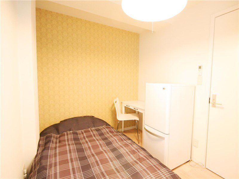
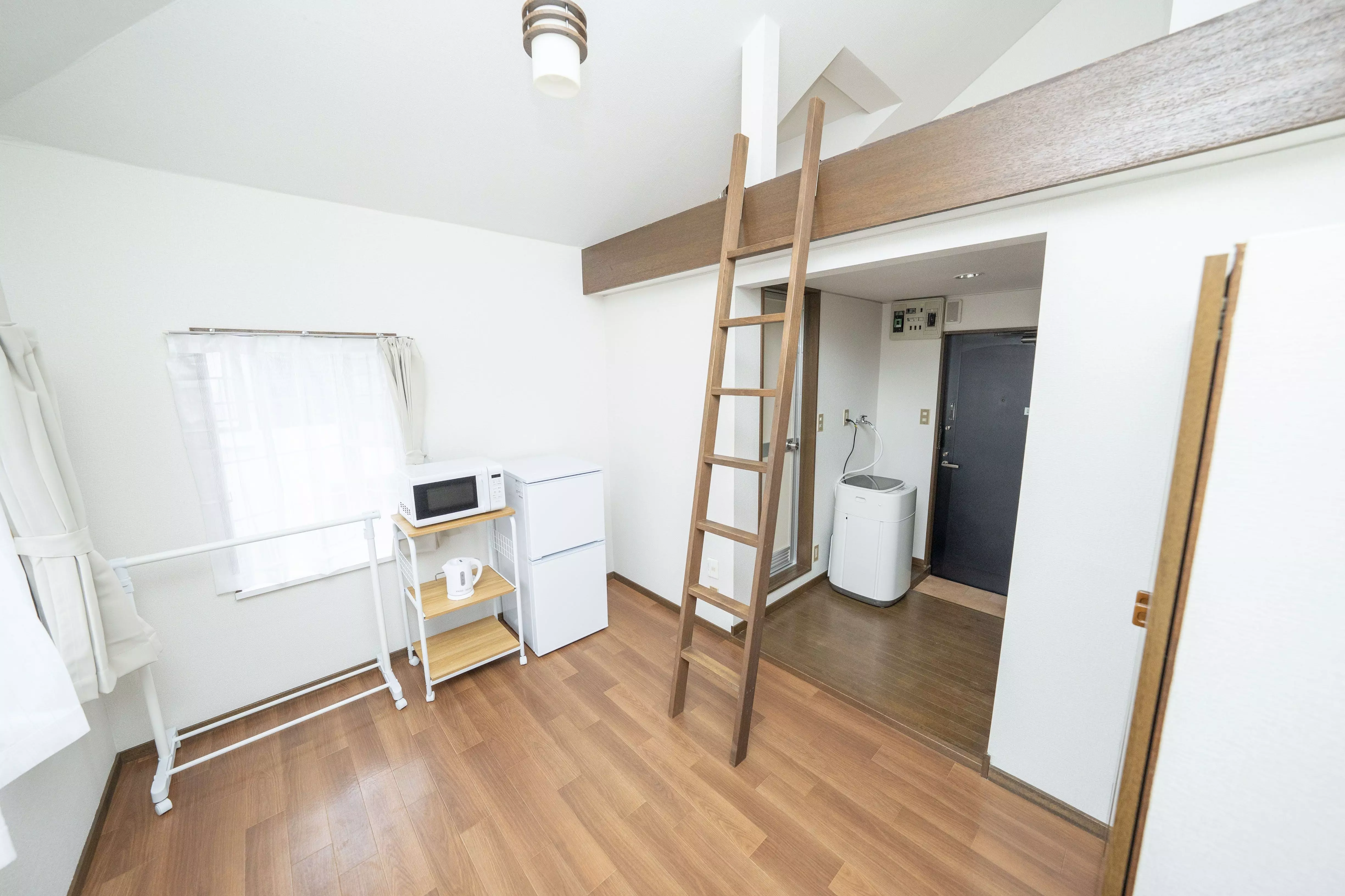

비용·교통·생활·적합까지 줄 맞춰 비교 · 각 열 “자세히 →”로 그 동네 상세를 볼 수 있어요. 월세·시세는 원룸 기준 참고값.
အခြားရပ်ကွက်များကို ကြည့်ရန်
အနီးအနားမြေပုံပေါ်တွင် ကပ်လျက်