

Tenjin တွင် နေထိုင်ခြင်း
‹ မြေပုံပေါ်တွင် ကြည့်ရန်天神 · Fukuoka

ကုန်တိုက်ကြီးများ၊ မြေအောက်ဈေးဆိုင်တန်းနှင့် Nakasu ညလောင်ကစားရပ်ကွက်တို့ ခြေလျင်သွားနိုင်သည့်အကွာအဝေးတွင် စုနေသော Kyushu ၏ အကြီးဆုံး စီးပွားရေးဗဟိုချက်။ Busan နှင့် နီးသည့် အားသာချက်ကြောင့် နိုင်ငံတကာကျောင်းသားများနှင့် working holiday ဗီဇာရှိသူများ များစွာ နေထိုင်သဖြင့် ကိုရီးယားသားများအတွက် စိတ်ပိုင်းဆိုင်ရာ အတားအဆီး နည်းသော ရပ်ကွက်လည်း ဖြစ်ပါတယ်။ ထိုအစား မြို့လယ်ဖြစ်သည့်အတိုင်း အိမ်လခ မသက်သာဘဲ စည်ကားသောနေရာ၊ ညလောင်ကစားရပ်ကွက်နှင့် ကပ်နေသဖြင့် ဆူညံသံနှင့် လုံခြုံရေးအန္တရာယ်တို့ကိုပါ လက်ခံရမည့်နေရာ ဖြစ်ပါတယ်။
Nishitetsu Fukuoka Line နှင့် မြေအောက်ရထား Kuko Line၊ Nanakuma Line၊ အမြန်လမ်းဘတ်စ်ကား ဆိုက်ကပ်ဘူတာတို့ ဆုံရာ Kyushu ၏ အကြီးဆုံး စည်ကားရာဒေသ ဖြစ်ပါတယ်။ ကုန်တိုက်ကြီးများ၊ မြေအောက်ဈေးဆိုင်တန်းနှင့် Parco စသည့် ဈေးဝယ်၊ ညလောင်ကစား အဆောက်အအုံများ အလွန်ပြည့်စုံပြီး Busan မှ သင်္ဘော၊ လေယာဉ်ဖြင့် နီးသဖြင့် ကိုရီးယားနိုင်ငံတကာကျောင်းသားများနှင့် working holiday လာသူများ များ၍ ကိုရီးယားစားသောက်ဆိုင်၊ consulate စသည့် ကိုရီးယားဗဟိုချက်များ ဒေသတစ်ဝိုက်တွင် စုနေပါတယ်။ မြို့လယ်ဖြစ်သဖြင့် လူကြိုက်များသော ဇုန်များတွင် အိမ်လခ မြင့်ပါတယ်။ ဈေးဝယ်၊ ပို့ဆောင်ရေးနှင့် ကိုရီးယား အဆောက်အအုံများ တစ်နေရာတည်း စုနေသဖြင့် လှုပ်ရှားမှုအတိုင်းအတာ ကျယ်ဝန်းသော 1 ဦးတည်းနေအိမ်ထောင်စုများနှင့် နိုင်ငံတကာကျောင်းသားများအတွက် အထူးသင့်လျော်သော ဒေသဖြစ်ပါတယ်။
On foot from anywhere in the area
Good fit for
- စျေးဝယ်ခြင်း၊ အပြင်စားခြင်း၊ ညဘဝတို့ကို လမ်းလျှောက်၍ ပြီးစီးလိုသည့် လှုပ်ရှားသွားလာမှု နယ်ပယ်ကျယ်သော 1 ဦးတည်းနေ အိမ်ထောင်စု
- Shinkansen နှင့် လေဆိပ် ချိတ်ဆက်ရာ ဗဟိုဖြစ်သော Hakata နှင့် Fukuoka Airport နှစ်ခုစလုံးသို့ လွယ်လွယ်ကူကူ သွားလိုသည့် ရုံးဝန်ထမ်း၊ အလုပ်ကိစ္စဖြင့် မကြာခဏ ခရီးသွားသူ
- ဂျပန်ဘာသာစကားကျောင်း၊ တက္ကသိုလ် ဘာသာစကားသင်တန်း စသည်ဖြင့် Fukuoka သို့ ရောက်လာသော ကိုရီးယား နိုင်ငံခြားသားကျောင်းသား၊ Working Holiday သမားများအနေဖြင့် အရွယ်တူများ၊ ကိုရီးယားလူမျိုးချင်းများနှင့် ဆုံတွေ့ခွင့်ရလိုသူ
- မြေအောက်ရထားလိုင်း 2 လိုင်းနှင့် Nishitetsu ကိုယ်ပိုင်ရထားလိုင်း အပါအဝင် လိုင်းများစွာကို ဘူတာတစ်ခုတည်းတွင် ပြောင်းစီးနိုင်သော သယ်ယူပို့ဆောင်ရေး ဗဟိုနေရာကို လိုချင်သူ
- စည်ကားသော ရပ်ကွက်၏ ထူးခြားသော စည်ကားသိုက်မြိုက်မှုနှင့် ညနက်ထိ ဆက်လက်လင်းနေသော မီးအလင်းရောင်၊ လူအုပ်ကို အဆင်ပြေသည်ဟု ခံစားရသူ
May not suit
- ငြိမ်သက်တည်ငြိမ်သော တိတ်ဆိတ်သည့် လူနေအငွေ့အသက်ကို လိုလားသူ
- လုံခြုံရေး အထိပ်တန်း ရပ်ကွက်များကိုသာ ဦးစားပေးသူ
- ဈေးသက်သာသော အိမ်လခကို အဦးဆုံးထားသူ
- ညနက်ပိုင်း အရက်မူးသူများနှင့် စည်ကားသောရပ်ကွက်၏ ဆူညံသံကို ရှောင်လိုသူ
- ခရီးသွားဧည့်သည်၊ နိုင်ငံခြားသားကျောင်းသား လူအုပ် နည်းသော တိတ်ဆိတ်သည့် ရပ်ကွက်ဟန်ကို လိုချင်သူ
Map of Tenjin
天神 0.72km²
Expected flood depth in the heaviest assumed rain. 17% of the area under 0.5 m, 24% over 0.5 m, the rest outside the expected zone.
GSI Hazard Map Portal (largest assumed). Some rivers have no data, so "outside zone" does not mean safe.
Where bars, pubs, karaoke and clubs cluster. 50% of the area has more than 5 within 150 m, and 21% has 1–4.
Based on 251 night venues in OpenStreetMap · some may be missing.
94% of the area is within a 5-min walk of a supermarket, and 100% within 10 min.
91% of the area is within a 5-min walk of a pharmacy or drugstore, and 100% within 10 min.
100% of the area is within a 5-min walk of a hospital or clinic, and 100% within 10 min.
Combines MHLW Medical Information Net (2026-06), National Land Numerical Information (2020) and OpenStreetMap (dentists excluded).
74% of the area is within a 5-min walk of a station, and 99% within 10 min.
Map © OpenStreetMap contributors · 2020 Census small-area boundaries
Transport in Tenjin
4 stations are within a 5-min walk of somewhere in the area: 中洲川端・西鉄福岡(天神)・天神・天神南.
Rent & initial costs in Tenjin
MIC Housing and Land Survey 2023 (private rent by floor area) — a room you rent now may cost more. Actual rent varies by building, age and distance to the station.
Initial costs 4~6 months of rent
Who lives here in Tenjin
Basic Resident Register, Jan 2026 · 天神
Daily essentials in Tenjin
Share of the area within a 5- / 10-min walk (straight line, 80 m = 1 min)
Hospitals/clinics: MHLW Medical Information Net (2026-06), National Land Numerical Information (2020) and OSM combined · everything else © OpenStreetMap contributors — some places may be missing.
Atmosphere & safety in Tenjin
福岡市中央区 ရှိ အလုပ်များ 1
Tenjin တည်ရှိသော 福岡市中央区 ၏ အလုပ်ခေါ်စာများ။ ကုမ္ပဏီများက ခရိုင်အထိသာ ဖော်ပြသောကြောင့် တိကျသော အလုပ်ခွင်ကို အလုပ်ခေါ်စာတစ်ခုချင်းစီတွင် စစ်ဆေးပါ။
福岡市中央区 ရှိ အလုပ်ခေါ်စာ 1 ခုလုံးကို ကြည့်ရန် ›Tenjin အနီးရှိ နေစရာများ
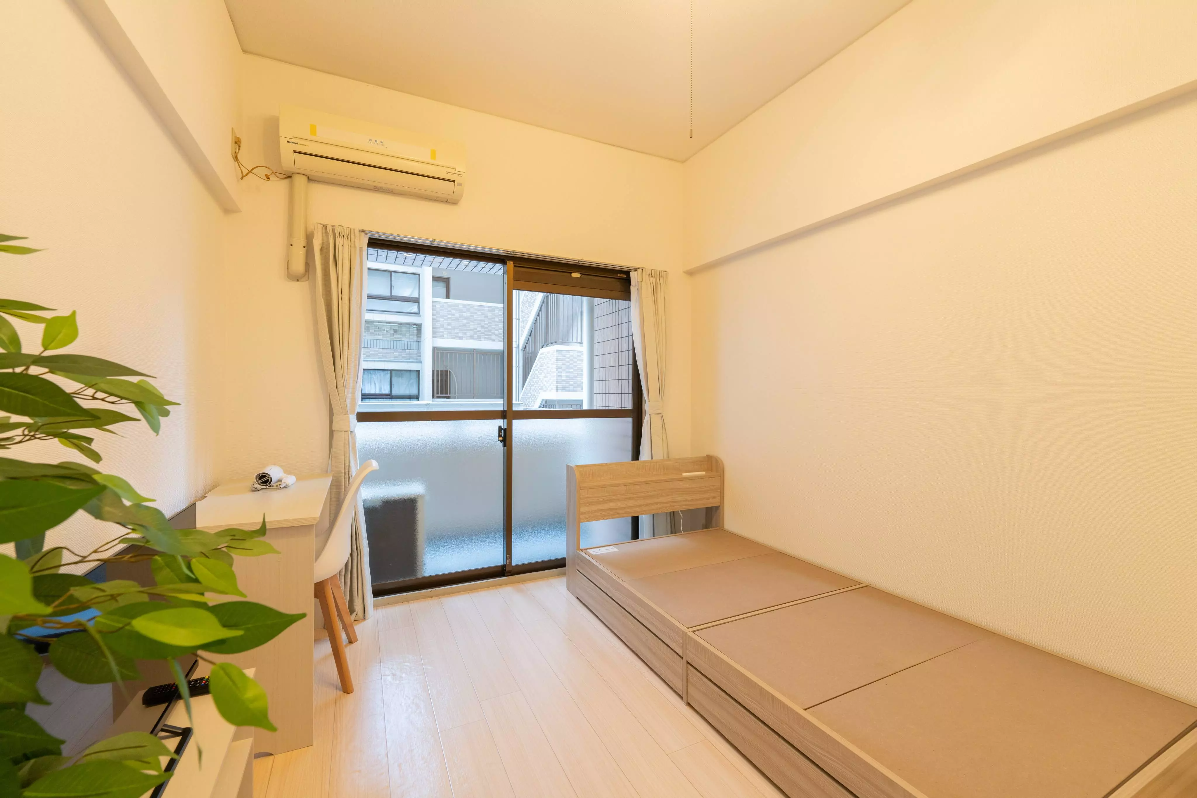
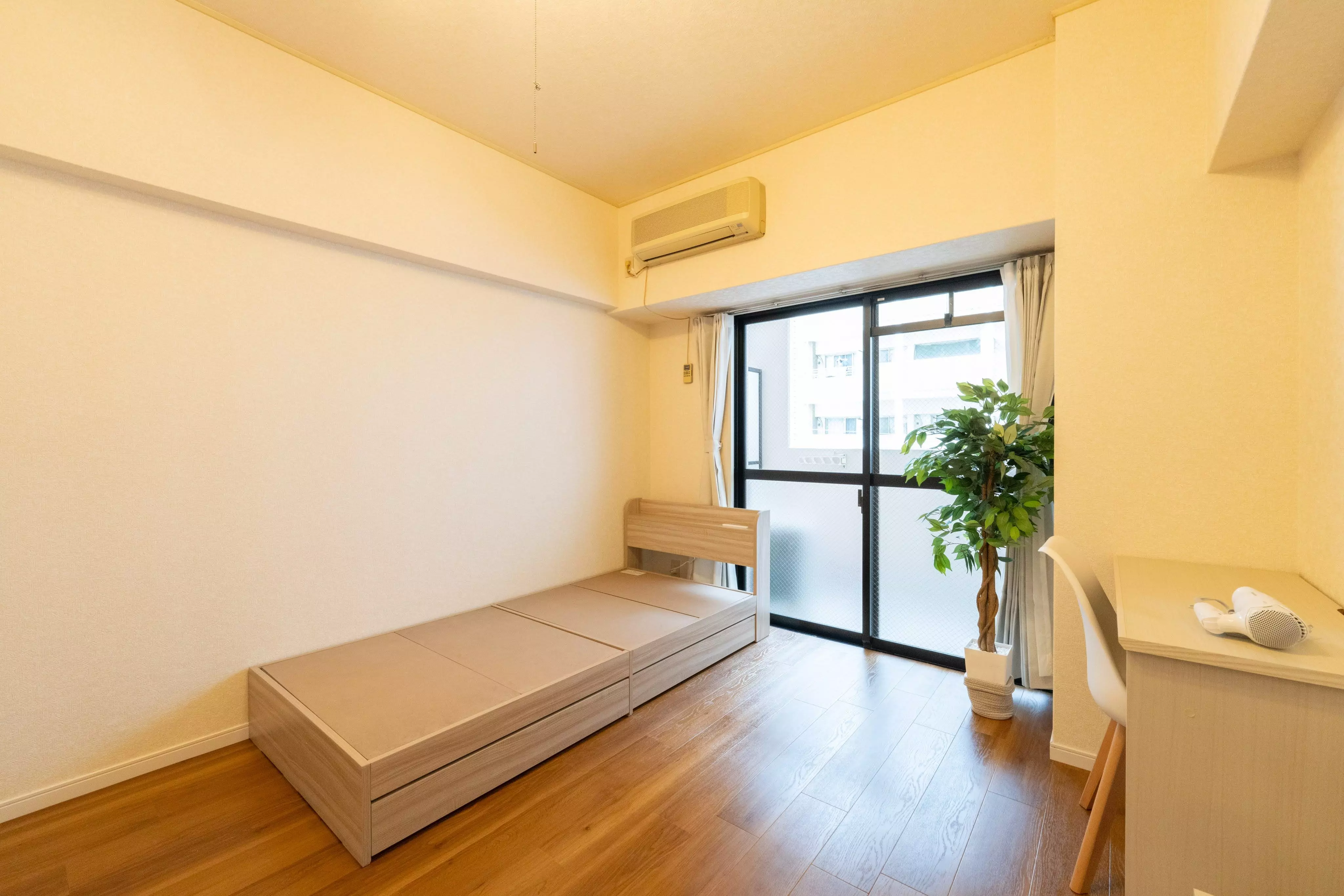
Tenjin မှ 1.2 ကီလိုမီတာခန့်အတွင်းရှိ နေစရာများ။ အဆောက်အအုံကို ကြည့်ရန် နှိပ်ပါ။

비용·교통·생활·적합까지 줄 맞춰 비교 · 각 열 “자세히 →”로 그 동네 상세를 볼 수 있어요. 월세·시세는 원룸 기준 참고값.
အခြားရပ်ကွက်များကို ကြည့်ရန်
အနီးအနားမြေပုံပေါ်တွင် ကပ်လျက်
ဆင်တူသော ရပ်ကွက်များတူညီသောဒေသတွင် ဆင်တူသည့် အမူအရာ
အခြားမြို့များရှိ ဆင်တူသော ရပ်ကွက်များမြို့များကြား ရွေးချယ်နေပါက